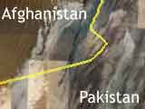
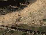
Lieu : Border enters Afghanistan and Pakistan.
 |
You know it.
The us government of search Bin Laden actively.
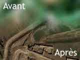
Recently, the aerial view of Google Maps/Google Earth were update in several zones between the border of Afghanistan and Pakistan.
Bin Laden should be hidden (why not?) on the ndu Kush reliefs, one of the most isolated places in the world. |
 High resolution High resolution
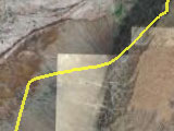
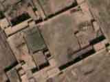
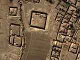
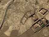
Today, a great majority of villages, houses, schools, mosques in this area have a resolution as clear as New York aerial views.
|
|
Suppliers of images for the C.I.A.
For these areas, Google obtains its images from the same companies : DigitalGlobe and TerraMetrics.
These same companies provide photographs satellite to the C.I.A..
When the C.I.A. asks for large plans of a quite precise sector, Google Earth users could view it 18 months later.
|
|
 You : search for Bin Laden and win 25 millions $ ! You : search for Bin Laden and win 25 millions $ !
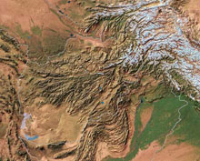
Here is a general map of the border between Afghanistan and Pakistan.
It is visually easier to see all these zones in HD with Google Earth.
Here is the method:
You will notice the map with its cleared up and dark areas:
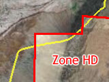
The HD area are these which the color is appreciably different from the whole of the map:
Now, zoom for the reliefs !
|


